Study 03
Topography
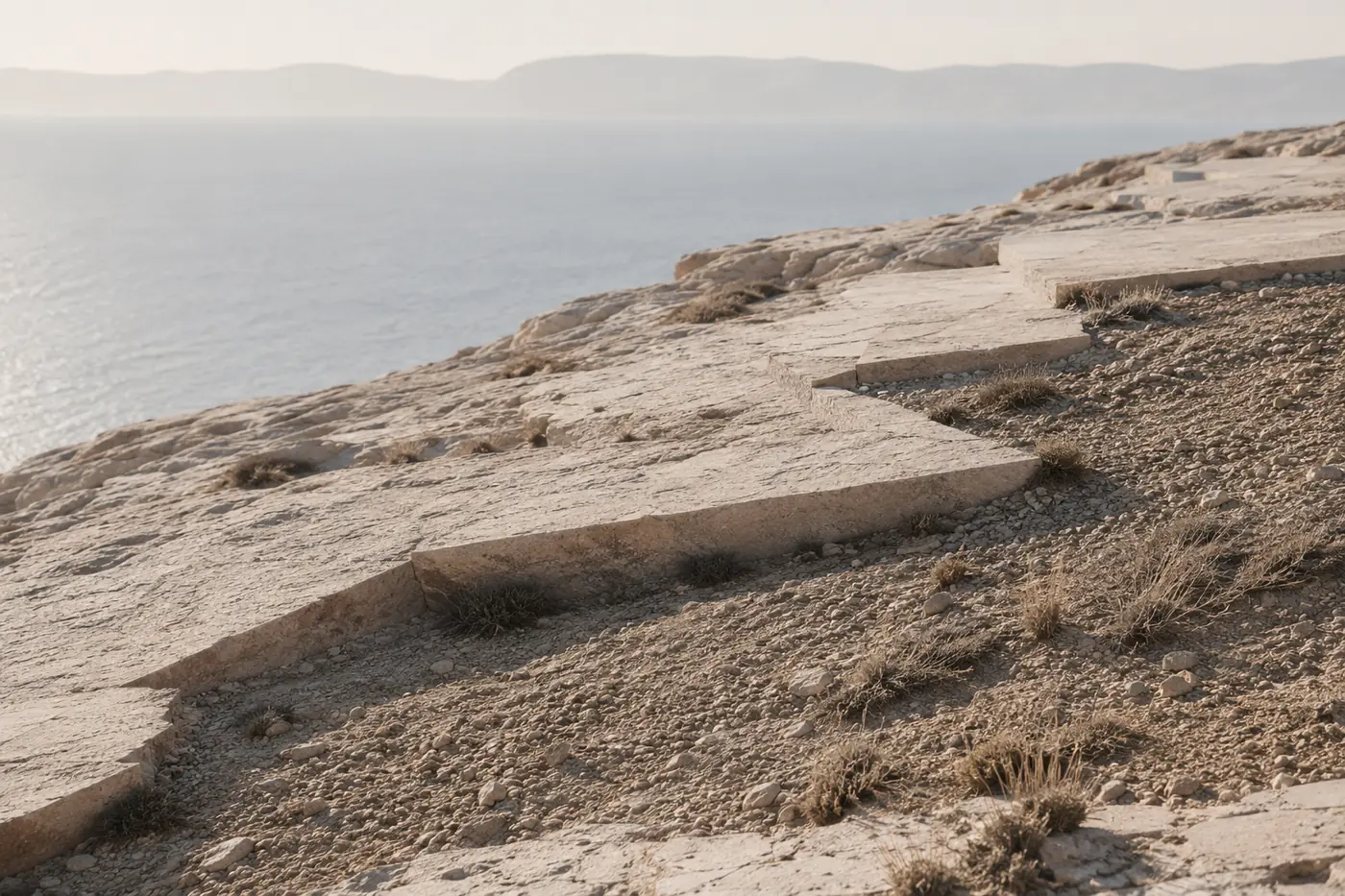
Question
Can contour lines become tactile?
Observation
Terraced hillsides and survey maps describe the same landscape at two scales: one is walked, one is read. The study transfers contour logic to the object scale — stepped sections, incised lines at fixed vertical intervals, profiles taken directly from measured slopes.
The aim is an object that can be read by hand the way a map is read by eye.
Field Notes
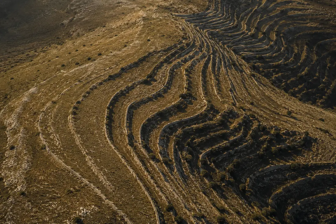

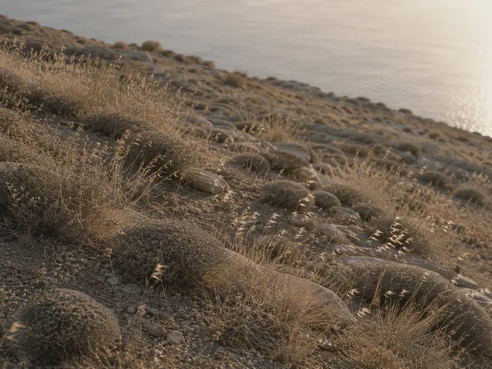
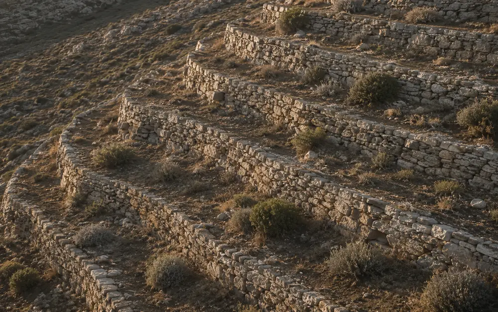

Material Tests
- MT–01Stepped-profile series — thrown forms cut to fixed contour intervals.
- MT–02Incision depth — legibility of lines from 0.5 to 3 mm under glaze.
- MT–03Slope transfer — profiles generated from surveyed terrace sections.